Can I build an ADU in Quincy?
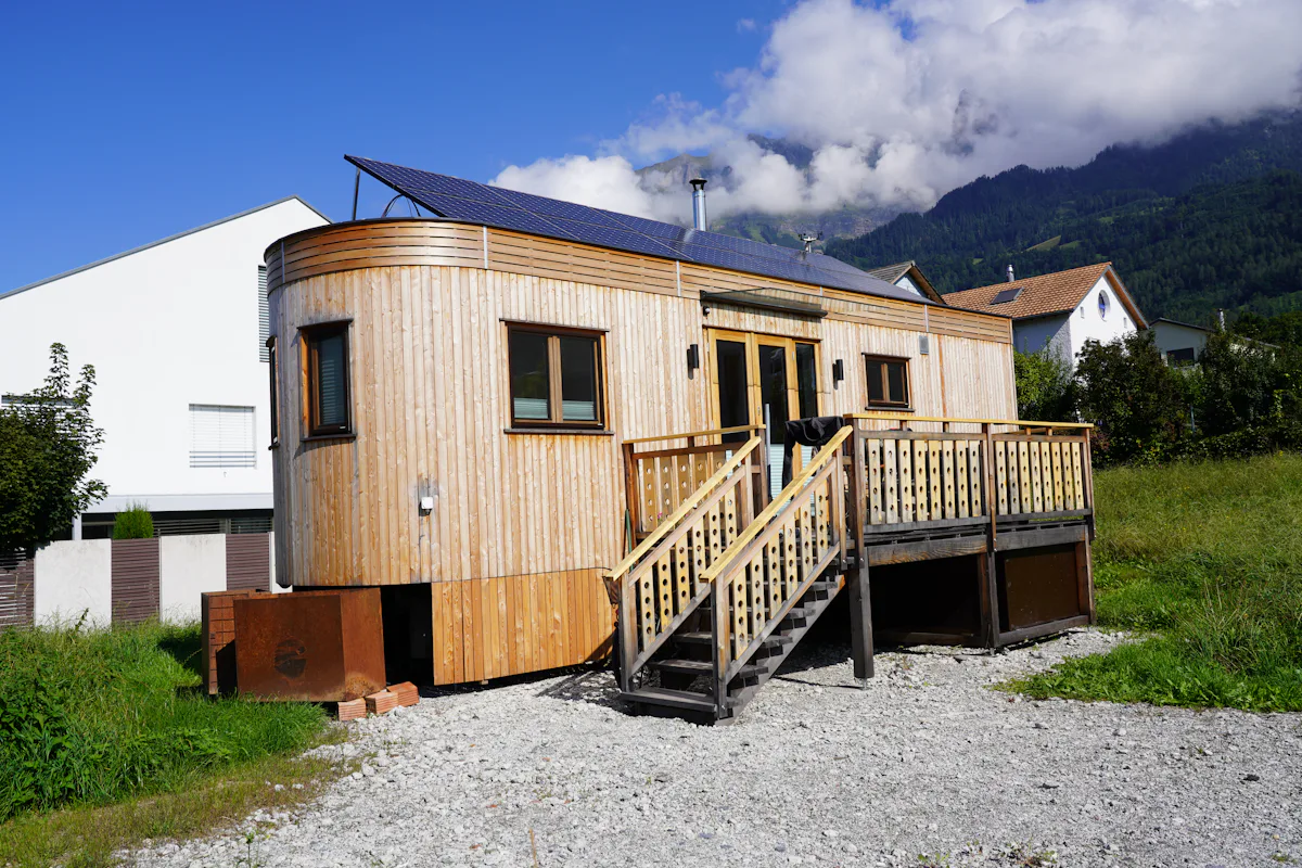
In most single-family zones, yes. Quincy is governed by the state Zoning Act, so as of October 2026 the Affordable Homes Act lets an owner add one ADU by right there, up to 900 sq ft or half the gross floor area of the main home, whichever is smaller. The city cannot require a special permit for it or require the owner to live on site, but it can apply reasonable setback, height and site plan rules.
Will I need a parking space?
Maybe not. Quincy has four Red Line stations: North Quincy, Wollaston, Quincy Center and Quincy Adams. As of October 2026, state law bars a parking requirement for an ADU within half a mile of a subway, commuter rail, ferry or bus station, and caps it at one space elsewhere. We measure the distance from your lot as part of the parking check.
Does the shoreline change anything?
It can. Quincy has a long coastline, and lots near the water may sit in a mapped flood zone. If yours does, flood-resistant construction rules can affect where an ADU goes, how high its floor must be, and whether a basement unit is sensible at all. We check the current flood map before choosing a type.
Which ADU type fits a Quincy lot?
- Detached cottage where a rear yard has room and a clear path for utilities.
- Garage conversion where a detached garage is structurally sound.
- Addition on a smaller lot where the yard is tight but the side setback has room.
- Basement or attic unit in a larger house, outside any flood-prone area.
What does Quincy's local ordinance add?
It depends on your district. The state rule sets the minimum, and Quincy's own zoning supplies setbacks, height and any site plan review. We did not find a single published summary of Quincy's ADU details that we could verify, so we confirm them for your parcel with the city before design.
Related
As of October 2026. Sources: Mass.gov ADU guidance; Massachusetts Affordable Homes Act (Chapter 150 of the Acts of 2024); MBTA station list.
Check your Quincy lot
Send your address. We check the zoning district, the walk to the nearest station and the flood map.